

 8.3K
8.3K
 4.7
4.7
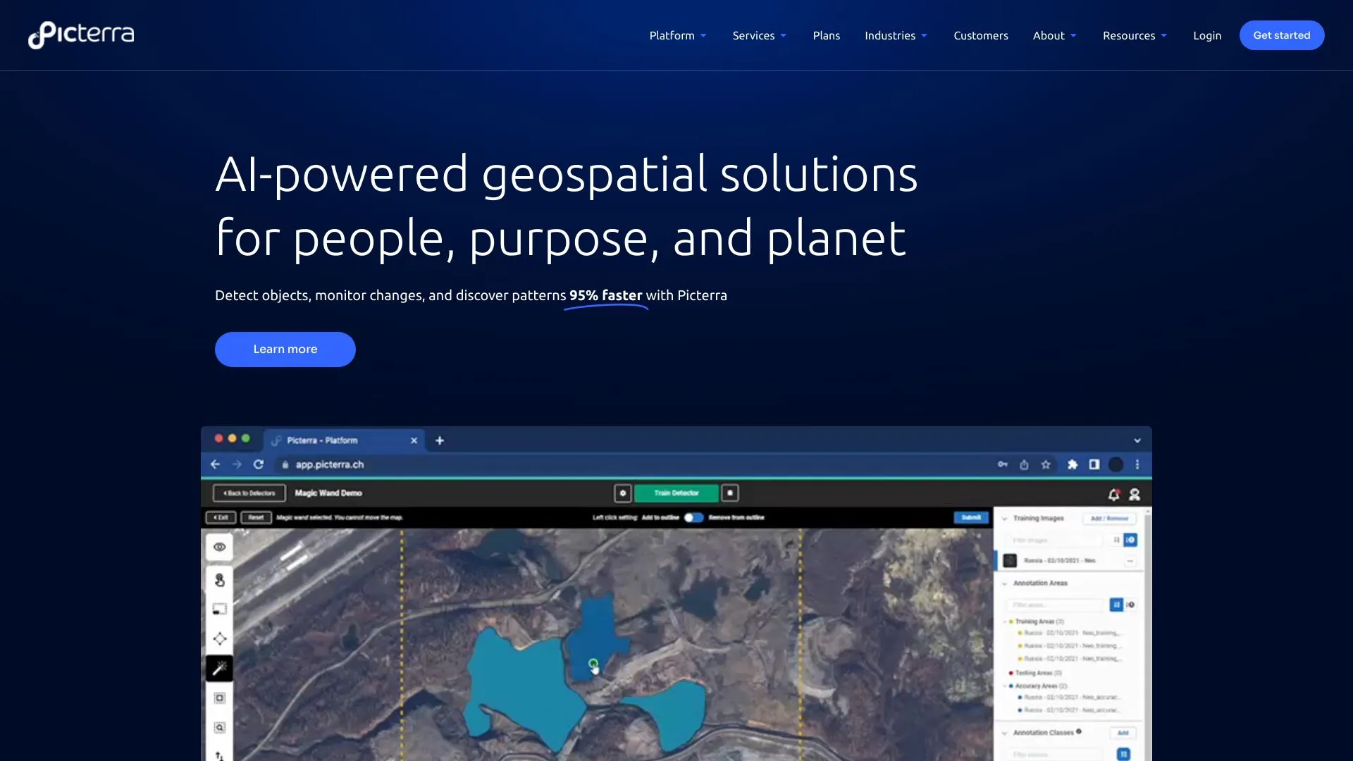
Picterra is a cutting-edge platform that leverages artificial intelligence to streamline the process of analyzing and extracting valuable insights from satellite and aerial imagery. Designed for both experts and novices, it empowers users to create custom AI models tailored to their specific needs, enhancing decision-making in various sectors like agriculture, urban planning, and environmental monitoring.By simplifying the complexities of geospatial data analysis, Picterra allows organizations to harness the power of remote sensing without requiring extensive technical expertise. Its user-friendly interface and robust tools facilitate the efficient processing of large datasets, making it an essential solution for businesses and researchers looking to gain actionable insights from their imagery.
satellite imagery
958.2K
5.0
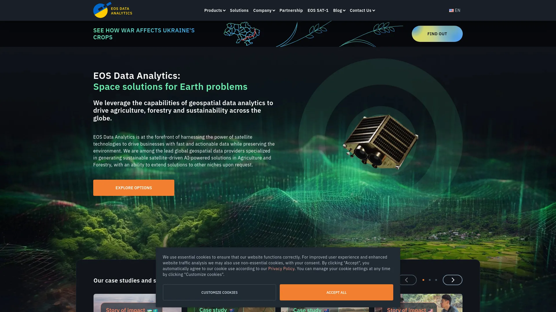
EOS Data Analytics is a leading provider of geospatial data and insights, specializing in satellite imagery and remote sensing technology. The company leverages advanced analytics and machine learning to transform vast amounts of Earth observation data into actionable information. By offering a suite of tools and services, EOS enables businesses, governments, and researchers to monitor environmental changes, optimize resource management, and make informed decisions.With a focus on sustainability and innovation, EOS Data Analytics supports various sectors, including agriculture, forestry, and urban planning. Their platform allows users to access and analyze satellite data efficiently, facilitating the identification of trends and patterns over time. Through its commitment to enhancing understanding of our planet, EOS plays a crucial role in addressing global challenges such as climate change, food security, and urban development.
satellite imagery
